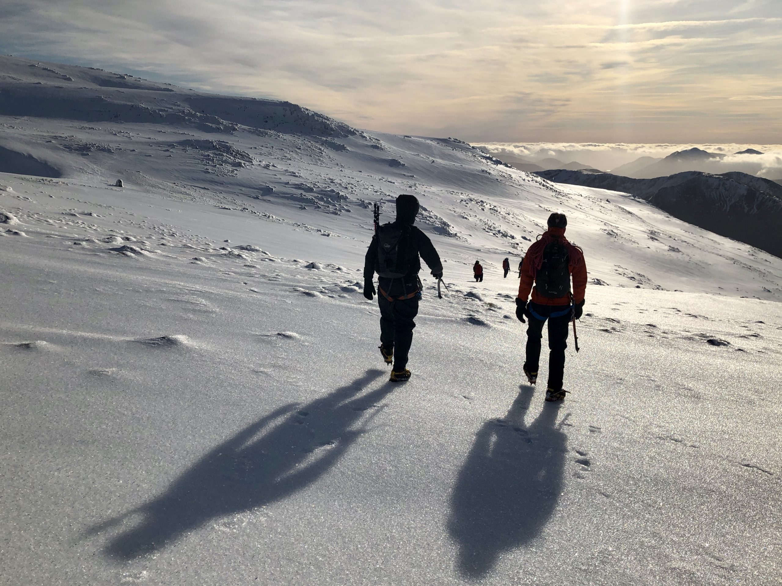
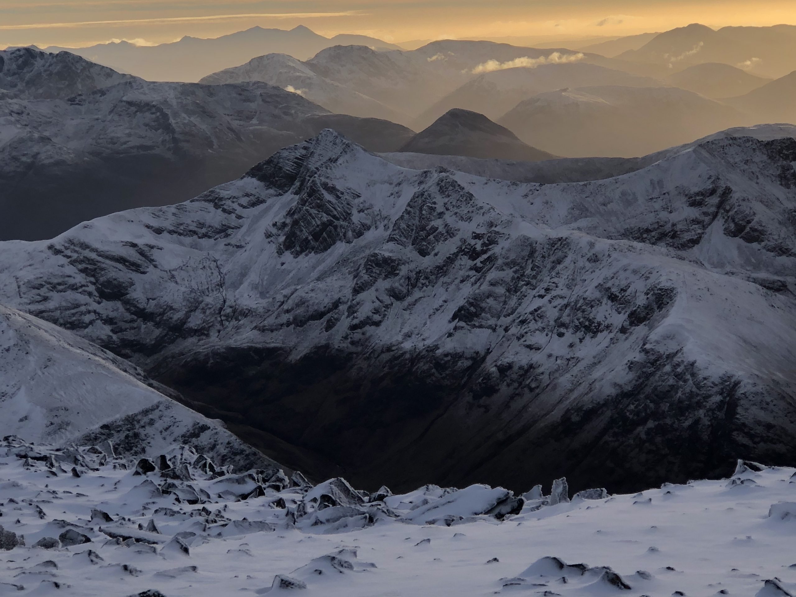
Introduction
Ledge Route on Ben Nevis is one of the best ways up Britain’s highest mountain in winter. What’s more, it is at a relatively low grade. It’s a fine summer scramble, transformed into something much more serious in winter. At Grade II, it’s not a highly technical winter route but that takes nothing away from its quality. The guidebooks give it four stars (instead of the usual maximum three).
Of course, it’s a very fine route in its own right, but it has a couple of added bonuses. First, it’s known as being a route you can do “in any conditions”. This is partly true, but you should read the comments on avalanche conditions below. Second, for the experienced and competent who know the route well, it’s a fun descent off the plateau too.
Booking and Prices
If you’d like to know more about winter mountaineering up Ledge Route on Ben Nevis in winter, then see our main page for more details and prices or see what our clients say about us.
When you are ready, then get in touch to make an enquiry or a booking.
We run winter skills courses, and winter mountaineering and climbing courses in other parts of Scotland and in the Lake District. We also run them in Snowdonia if conditions allow. You might like to read our article on beginners’ tips for winter mountain walking.
North Face of Ben Nevis in Winter
The north face of Ben Nevis is one of the biggest expanses of cliffs in the country. Many walkers who ascend Ben Nevis by the zig-zagging ‘Mountain Path‘ or ‘Pony Track’ will never see these cliffs. A good many have no idea that the north face even exists.
The cliffs are enormous, rising up about 2000ft from the valley floor below (the site of the CIC Hut). They are complex too, being a series of alternating major ridges and buttresses separated by huge corries and gully lines. For the first-timer, it is an imposing sight and it makes you realise just how seriously you need to take it. In poor visibility, even locating the start of your chosen route can be a challenge.
There are many who are confirmed ‘walkers’ and have no desire to ‘climb’. However, at least once in your life you should take the 1hr 45 minute walk up to the CIC hut. From there you can simply enjoy the spectacle of this magnificent mountain face, before walking back down again.
For those intending to go further, regardless of how ‘easy’ the route may be (in terms of technical grade), it is absolutely imperative that you have an understanding of avalanches in Scotland and how to avoid them. To do otherwise is courting disaster. All the gullies and coires on Ben Nevis are prone to avalanche. There are deaths almost every year including very sad cases of victims being buried for many months, not emerging until the spring. Ledge Route is no exception and can be a fatal choice in the wrong conditions.

Approaching Ledge Route on Ben Nevis in Winter
Ledge Route is located on Carn Dearg Buttress. This is towards the northern end of the cliffs (to the right as you look up at them). It finds a cunning way up the seemingly impregnable buttress connecting a series of ledges in a zig-zag manner. Then, a narrow ridge provides an exciting section before it broadens and becomes part of the summit slopes of Carn Dearg.
The usual approach is to head to Number Five Gully and enter its lower section. Number Five Gully avalanches frequently and funnels snow from a huge bowl above into its narrow mouth. This is not a place to linger at any time. But it’s somewhere to avoid totally in unfavourable avalanche conditions.
After entering the mouth of Number Five Gully, almost immediately you break out to the right and follow slanting ledges that lead back out towards the face. Soon you will find yourself above the famous ice route, The Curtain, and the exposure is tremendous. The ledges continue over a series of slabs with big steps in them. How difficult they are can vary enormously. It could be an easy-ish walk in deep well-packed snow, or extremely tricky with bare slabs covered in a thin layer of ice and gravel debris.
After the slabs, a broken gully leads up to the left. This emerges into a huge snowy amphitheatre which has been invisible from below up to now. You now head up to the right, towards the outer-most side of the buttresses, until you reach an obvious and prominent balanced pinnacle – a towering Jenga tower. How it stays up is a mystery, and no doubt it will topple sometime.
Ledges, Gangways and Ridges

A short distance on from the Jenga tower brings you to a large platform ledge or balcony. The steep drop in front of you plummets directly down the front of Carn Dearg buttress. Turn left to head north (-ish) and then left again to continue scrambling upwards.
Very soon, a prominent line emerges – a narrowing ridge that looks like the natural line to follow. This is sometimes referred to as the Gangway. Follow it to its top, where it culminates in a little summit with steep drops to the left and directly ahead. A short little down-climb to the right connects you to a continuing narrow ridge. The down-climb can be avoided by taking a line to the right of, and lower than, the Gangway. This ends in a steep little gully which brings you out at a col where the down-climb wall is at your left.
Now you scramble over and between various pinnacles along a narrow section of ridge line. On the left there are steep drops down into the bowl that forms the head of Number Five Gully. This gives you an insight into why the avalanches there are so dangerous – all the snow from this bowl has to avalanche down through the very narrow entrance to Number Five Gully.
The ridge now widens again, and a series of snow slopes with little ‘problem steps’ bring you finally to a point where the ridge is behind you and you are now on the final slopes of Carn Dearg.
Summit of Carn Dearg, Ben Nevis

Carn Dearg is a subsidiary summit of the main bulk of Ben Nevis. The final slopes can be tackled in a variety of ways and you can either take the easiest line or seek out small challenges. Some final rock bulges bring you to the summit plateau and a little cairn at 1214m. (Note that Carn Dearg is nothing to do with Carn Mor Dearg and the CMD Arete route on Ben Nevis).
The summit of Ben Nevis itself is still a surprisingly long way off. From the top of Ledge Route, depending on snow conditions, it could easily take you a further hour to reach the summit of Ben Nevis, especially if there are deep snow drifts on the top.
Winter descents after Ledge Route, Ben Nevis
Having completed Ledge Route, there are a number of options for descending Ben Nevis in winter. They are mentioned only briefly here:
- To reach the summit of Ben Nevis:-
- Head around the rim of Number Five Gully and (roughly) southwards, to reach the cairn at the top of Number Four Gully, then continue to carefully navigate around the rim of the cliffs towards the summit.
- Or, after the cairn at the top of Number Four Gully, continue southwards to intercept the main Mountain Path and then follow this to the top.
- Descent via Number Four Gully. This is a popular descent route (in the right conditions) for those who are comfortable descending Grade 1 gullies. Like many such gullies, the top is steep (maybe face in and down-climb?) but the angle soon eases and it becomes possible to face out and walk.
- Descent via the Mountain Path. From the top of Number Four Gully head west into the Red Burn or a little more south-west to intercept the Mountain Path. The Red Burn can be avalanche prone in certain conditions.
If you continue to the top, be sure to find out how to navigate off the summit of Ben Nevis safely. You must avoid the gulf of Gardyloo Gully (see the photo carousel above) and other areas of steep ground in most directions. A crucial, accurate navigational dog-leg is the answer in poor visibility.


